The above picture is the town of Seward, I snapped that view of it from the boat which we took yesterday to see the fjords of Kenai. Seward is a beautiful harbor town with mountains and hills at its back and and Resurrection Bay in front of it. I mentioned in my last posting the Harding Icefields which lie over the Kenai Mountains. They are the largest icefields located entirely within the United States, and are one of the main reasons the Kenai National Park was established in 1980. What we saw yesterday in this park on our cruise, massive glaciers and abundant wildlife, certainly makes it one of our country's most treasured public lands. The cruise took us between the fjords (by definition they are glacially carved valleys which have filled with sea water), and through Resurrection and Aialik Bays. We had not cruised very far when I saw my first sea otter swimming and rolling while enjoying a meal of crab. What a beautiful sight! We saw a few others later in our trip.

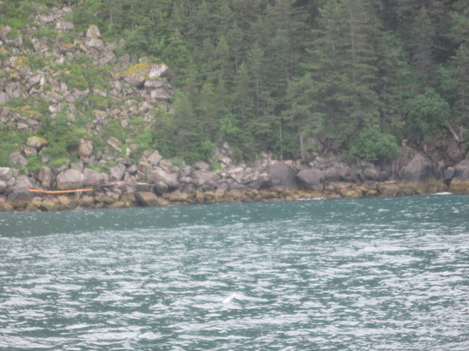
Not much further from that spot the national park ranger, who was guiding our tour, called out that he spoted humpback whales. They had migrated to Alaska from Hawaii to feed in its waters for the summer. I could see their blows very clearly and ,as they came closer to our boat, it was easy to see their fins as they dove in and out of the water. Later in the trip we saw a pod of orca whales. On our cruise we also saw harbor seals as well as Dall sea lions. I was also amazed to see a smack of jellyfish swimming by our ship. Later the park ranger pointed out a black line near the sea water on the steep cliff faces which he called marine lichen. Below the lichen is an olive-green algae which provides a protective canopy for such sea critters as sea stars, barnacles, and limpets. From the ship, probably because of their bright orange color, we could easily see numerous sea stars. Below is one of those shore lines where you can see the black line.It reminded me of a dirty bathtub ring. It gives important information to sea captains as to how hard the waves splash up in a particular area.

That black line is also called a splash line. The line here is low in the water, indicating that the water is calm in this part of the bay. Yesterday a storm front moved in on the last part of our trip, swells in the ocean were up to 10 feet. Our litttle ship sure got tossed around! The captain slowed down and pulled the ship into this area so we could take a short break from the constant rolling motion of the ship. I will continue the story of our trip in the next posting. Before I close,however, I want to show you one of the many beautiful rock formations which we saw on the trip. It has been named Three Hole Point.


No comments:
Post a Comment